
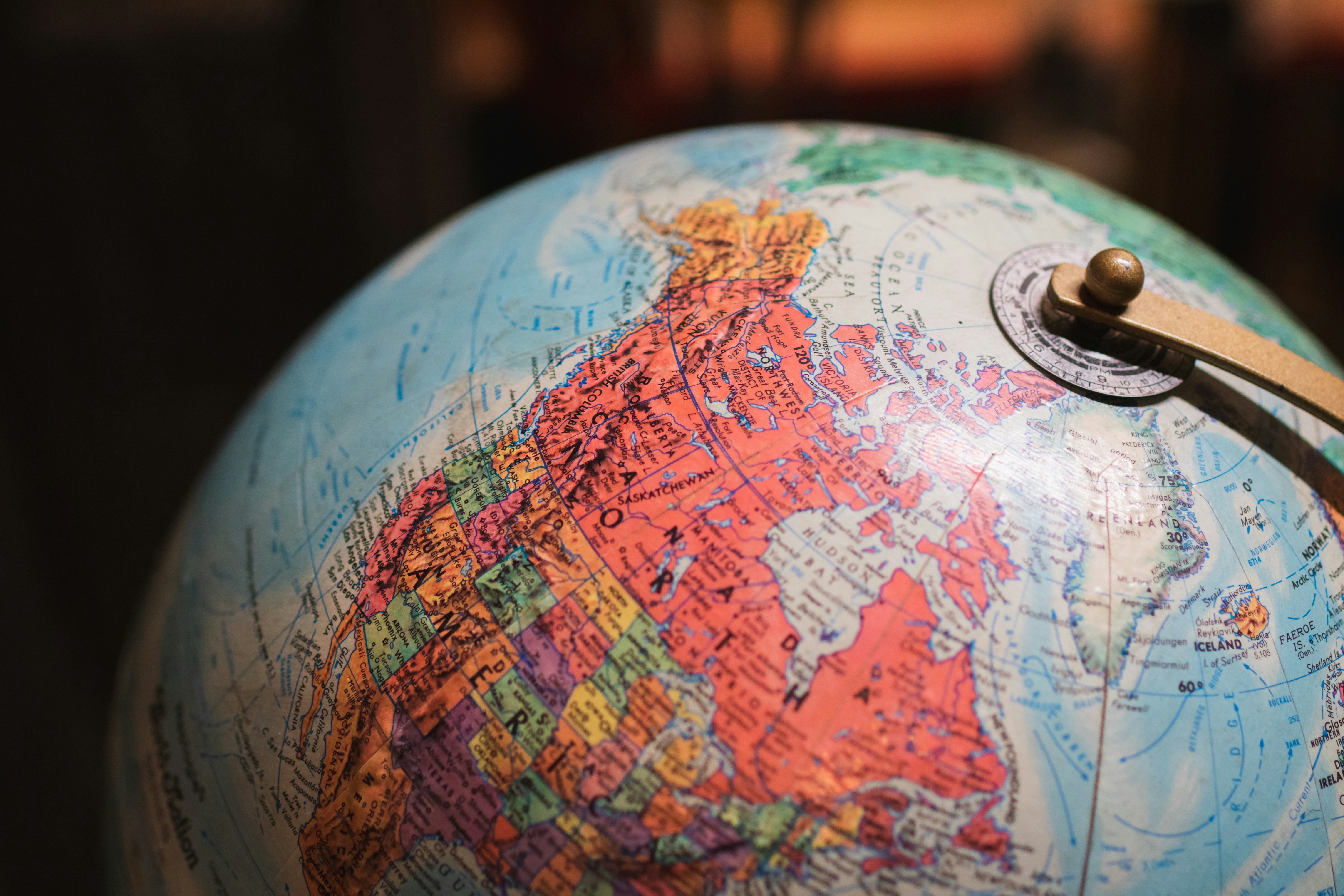
Introduction to the New World Map
Recently, the United Nations General Assembly (UNGA) made a pivotal announcement addressing the creation of a new world map, reflecting contemporary geopolitical realities and global dynamics. This update marks a significant milestone, as it aims to enhance the accuracy and representation of countries and regions across the globe, aligning more closely with the complexities of modern international relations.
The motivations behind this initiative stem from various factors, including the need to recognize emerging nations and changing borders, which have resulted from historical evolutions, conflicts, and diplomatic negotiations. The traditional mercator projection, once the standard for world maps, has long been criticized for its distortion of the size and shape of lands. As global demographics shift and environmental changes occur, an updated world map reflects these aspects more faithfully, presenting a balanced view of global geography.
This announcement is not merely an aesthetic change but also holds significant implications for global perspectives. By adopting a new world map, the UNGA acknowledges the importance of inclusivity and representation in cartography. This decision may influence educational materials, global policies, and international discussions, leading to a more informed worldview. As nations begin to adapt to this new representation, the understanding of their positions relative to one another will evolve, potentially affecting diplomatic relations and international cooperation.
As we explore the challenges of the mercator projection in contrast to this new map, it will be essential to consider how such changes can foster a better geopolitical understanding among countries. This initiative encourages a re-examination of established norms in cartography, ultimately preparing the ground for more accurate discussions regarding global issues.
Overview of the Mercator Projection
The Mercator projection, developed by the Flemish cartographer Gerardus Mercator in 1569, is a cylindrical map projection renowned for its unique ability to represent courses of constant bearing, known as rhumb lines or loxodromes. This characteristic made it immensely valuable for marine navigation, allowing sailors to plot straight-line courses over the curved surface of the Earth.
Historically, the Mercator projection emerged during the Age of Exploration, a period characterized by enhanced maritime navigation and discovery. It was strategically crafted to assist navigators in their quests across uncharted waters, making it easier to travel between distant locations. The projection’s ability to maintain angles and shape fidelity made it an ideal choice for navigators, despite other projections distorting areas significantly. The emphasis on direction in the Mercator projection means that while it accurately represents shapes near the equator, polar regions can appear disproportionately large.
In contemporary cartography, the Mercator projection remains a staple, particularly in classrooms and educational materials. Its straightforward, recognizable format provides a basis for teaching geography, as students can easily perceive global relationships in terms of shape and direction. However, educators often address the projection’s limitations, such as its distortions at extreme latitudes, which can misrepresent the actual sizes of land masses. Nonetheless, the projection’s significance endures, serving both practical navigation needs and serving as a foundational teaching tool in geography.
As mapping technologies evolve, understanding the historical context and applications of the Mercator projection continues to be essential for those studying cartography and geography. While modern tools have introduced more accurate projections, the legacy of Mercator’s work remains a crucial component of cartographic education and navigation history.
Problems with the Mercator Projection
The Mercator projection, originally devised by Gerardus Mercator in 1569, has long been a standard map projection used for navigation and various geographical purposes. However, its long-standing popularity is accompanied by significant drawbacks that arise from its fundamental design. One of the primary issues with the Mercator projection is the distortion of size and shape, particularly as one moves away from the equator. Regions near the poles appear vastly larger than they actually are, leading to a misinterpretation of their true land area.
For instance, Greenland, which is commonly shown as one of the largest countries on a Mercator map, is actually much smaller than depicted—approximately the same size as the Democratic Republic of the Congo, yet it occupies a fraction of the actual map space. This distortion can lead to misconceptions regarding the relative importance and scale of different regions, influencing political and social perceptions adversely. Areas like Africa and South America are drastically minimized in size, which can skew international views about these regions’ geopolitical significance and economic status.
The implications of these inaccuracies extend beyond mere representation; they affect our understanding of global dynamics. The Mercator projection creates an exaggerated sense of importance for certain countries while under-representing others, thus impacting how we perceive global power structures. This can lead to a lack of awareness and understanding regarding the socio-economic conditions of regions that are rendered smaller on the map. Efforts to re-evaluate geographic education and the tools used for teaching geography are increasingly calling for alternatives to the Mercator projection. Various map projections strive to present a more accurate representation of Earth’s geography, aligning more closely with proportional area and true shapes, which are crucial for fostering a balanced global perspective.
Transition to a New Map: Implications and Future Directions
The recent introduction of a new world map by the United Nations General Assembly (UNGA) represents a crucial shift in how we perceive global geography. This transition highlights the limitations of the traditional mercator projection, which, despite its widespread use, distorts the representation of landmasses at various latitudes, particularly in polar regions. By embracing alternative projections, we have an opportunity to present more accurate geographic realities that can facilitate better understanding and communication about our planet.
One of the primary implications of adopting a more accurate map is the potential shift in educational paradigms. Geography education often relies on established maps, such as the mercator projection, which can lead to misconceptions regarding the relative size and importance of different regions. A new map can help to correct these biases, ensuring that students learn about the world in a way that reflects its true proportions and spatial relationships. This shift can also foster a more critical perspective on how geographic information is presented and used in various contexts, including policy-making.
Additionally, more accurate representations of the Earth can significantly impact international relations and diplomatic discussions. Countries may reassess their geopolitical strategies based on a more reliable understanding of geographic positions and resource distributions. As nations interact on the global stage, utilizing maps that portray true size and distance can contribute to more informed decision-making and collaboration.
In conclusion, the transition to a new map has profound implications for education, policy-making, and geographic understanding. By re-evaluating the reliance on traditional projections like the mercator projection, we can move toward more inclusive and accurate representations of the world, ultimately benefiting society by fostering a deeper appreciation of our planet’s geography.